


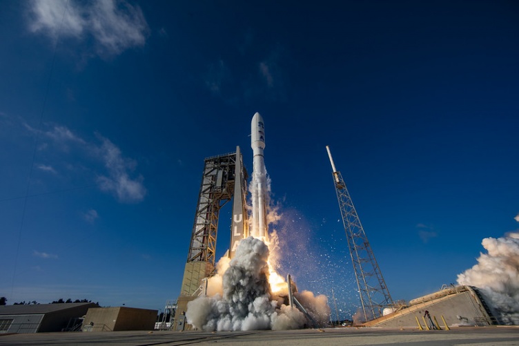
Photo by United Launch Alliance
UNH technology is once again heading into orbit — a new satellite equipped with an instrument designed by researchers from the Space Science Center will provide state-of-the-art technology to improve weather predictions on Earth and in space.
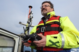
The Geostationary Operational Environmental Satellite-T (GOES-T), the third in the GOES-R series of satellites operated by NOAA, successfully launched on March 1, 2022, from Cape Canaveral in Florida. James Connell, UNH professor of physics and astronomy, and Clifford Lopate, UNH research associate professor of physics and astronomy, watched the launch online as the technology they designed lifted off from the station and began its journey to geostationary orbit, located more than 22,000 miles above the Earth’s equator.

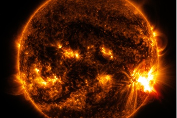
Their instrument, the Energetic Heavy Ion Sensor (EHIS), is part of a suite of instruments — collectively called the Space Environment In-Situ Suite (SEISS) — aboard GOES-T that help scientists monitor the energetic ions, like protons, oxygen and iron, in the near-Earth space environment. At high levels during large solar events, these ions impact communications, GPS, commercial airlines, spacecrafts and their astronauts.
“Space weather is vitally important; people’s lives depend on the information gathered by these satellites,” says Lopate, who is the principal investigator for EHIS. He notes that the direct flights between the U.S. and Asia that fly over the North Pole are bombarded with these energetic particles, and flight crews who routinely make these transits are at increased risk of radiation hazards. EHIS and its instrument counterparts provide the data needed to alert airlines when space weather is particularly hazardous, allowing for the flights to be rerouted to lower latitudes and altitudes where it’s safer for those onboard.
Regarding weather on Earth’s surface, GOES-T’s advanced imagery and higher resolution will enable improvements to NOAA’s hurricane tracking and intensity forecasts, as well as the forecasting of severe weather including tornadoes, thunderstorms and flooding. And it’s not just weather scientists benefitting from this information — Connell notes that the GOES-T satellite will provide crucial information for farmers who use GPS, which can be impacted by space weather, to work their fields.
"Space weather is vitally important; people's lives depend on the information gathered by these satellites."
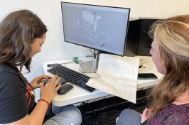
Once the satellite is in its final orbit and the SEISS suite turned on — approximately a month and a half after its launch — Connell and Lopate will begin the months-long process of verification and on-orbit calibration of EHIS, troubleshooting any issues that arise. They’ve been through this process before — this is the third of five identical EHIS instruments built; the first two were on the GOES-R and GOES-S missions (now called GOES-16 and GOES-17). GOES-T is an upgrade from previous satellite technology: a new magnetometer will improve the measurements of magnetic field variations, and scientists have redesigned the cooling system to prevent the intermittent degradation of the infrared imagery that occurred on the last GOES satellite.
“We are proud to provide EHIS instruments to the GOES program,” Connell adds. “EHIS was the first UNH instrument to fly on an operational space mission. The core element, the Angle Detecting Inclined Sensors technique we developed, provides great capacities in a relatively simple instrument suitable for the demands of operational missions.”
Connell and Lopate hold join appointments in the UNH Space Science Center and the College of Engineering and Physical Sciences.
-
Written By:
Rebecca Irelan | Institute for the Study of Earth, Oceans, and Space | rebecca.irelan@unh.edu | 603-862-0990