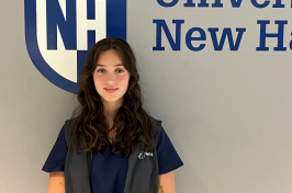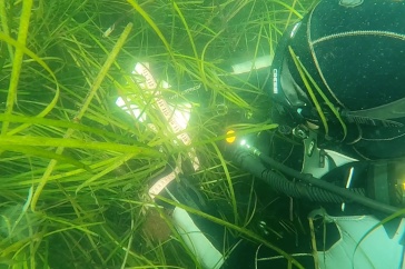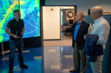
Natalie Cook ’23 wasn’t sure what to expect when she signed up to spend half her summer at sea probing the ocean floor, but she knew she wanted to try something different. Now that she’s found her sea legs, she’s also finding a foothold along a new career path of oceanic discovery.
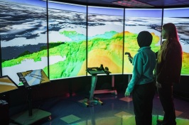
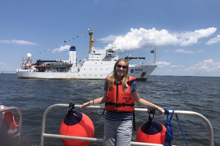
For 45 days this summer, Cook worked as an intern aboard the NOAA ship Thomas Jefferson to help map the seafloor in and around the Chesapeake Bay — an area that hasn’t been mapped since the early 1900s. “By updating the accuracy of the marine charts, we can create a safer environment for barges, pleasure boats and all types of vessels that navigate the bay,” she says.

The internship, sponsored by the UNH Center for Coastal and Ocean Mapping, was Cook’s first exposure to seafloor mapping. Cook, an ocean engineering major, wanted to fully experience living at sea while learning how a hydrographic survey ship runs. While on board, she worked directly with the hydrographers, engineers and deckhands to gain a broader perspective of everyone’s contributions to the task at hand.
“The ship’s crew members were so excited to teach me about their roles and hydrography that it made learning easy, and I could always get hands-on experience,” Cook says.
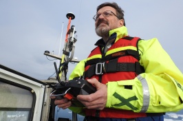
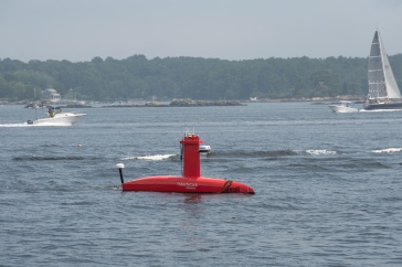
The ship was equipped with state-of-the-art echosounder technology used for the large swaths across the bay and two 28-foot survey vessels helped to collect data in areas where the ship couldn’t safely navigate. Cook helped to collect the data, summarize the findings in a report, participated in the drills and bridge watches and helped to fix equipment on the ship when necessary — including welding new pieces of railing to ensure the deck was safe.
Cook says that even though the planned operations were essentially the same each day, the work was far from mundane; technology would break, the weather would rapidly change and people would find more efficient procedures for their tasks. “The onboard environment was so full of problem-solving and frequent collaboration to improve operations that it was always exciting to see what solutions people would come up with,” she notes.

She kept a weekly blog to chronicle her adventures aboard the ship. In one entry, she notes that she had the opportunity to drive one of the 28-foot survey vessels to help collect the seafloor data. “Driving them is simple enough,” she writes, “but tracing the selected survey lines within one meter of accuracy is incredibly difficult when the wind and water push the launch all over the place. Sometimes we would have to temporarily abandon our route to avoid the several-hundred-foot-long ships that were anchored directly on top of our line. Awareness of the surrounding traffic, buoys, land formations and other obstructions is crucial when navigating the small boats as well.”
Although this was Cook’s first exposure to seafloor mapping, the experience left her wanting to learn more about mapping technology, acoustics and robotics that assist in other seafloor data collection out at sea, and she says she is now considering graduate school as a possible next step in her career.
“It really was an amazing internship that really helped me to gain an understanding of ocean science and engineering in the field, and I certainly learned a lot about the daily tasks and challenges of working in those disciplines,” Cook adds.
The Institute for the Study of Earth, Oceans, and Space (EOS) is UNH's largest research enterprise, comprising six centers with a focus on interdisciplinary, high-impact research on Earth and climate systems, space science, the marine environment, seafloor mapping and environmental acoustics. With more than $60 million in external funding secured annually, EOS fosters an intellectual and scientific environment that advances visionary scholarship and leadership in world-class research and graduate education.
-
Written By:
Rebecca Irelan | Institute for the Study of Earth, Oceans, and Space | rebecca.irelan@unh.edu | 603-862-0990


