


Where on Earth could a 3,000-foot mountain hide?
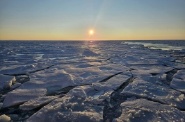
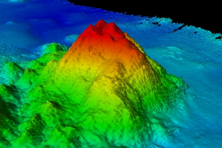
On the bottom of the sea – an area about which we know less than the surface of the Moon. That’s where UNH scientists on a seafloor mapping mission discovered a new seamount near the Johnson Atoll in the Pacific Ocean. The summit of the geological feature rises 1,100 meters from the 5,100-meter-deep ocean floor.
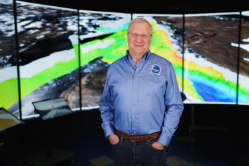
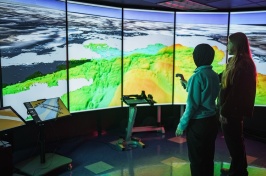
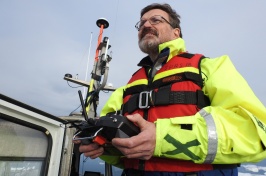
The seamount was discovered in August when James Gardner, research professor in the UNH-NOAA Center for Coastal and Ocean Mapping/Joint Hydrographic Center, was leading a mapping mission aimed at helping delineate the outer limits of the U.S. continental shelf.
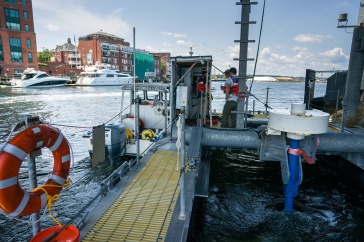
Working aboard the R/V Kilo Moana, an oceanographic research ship owned by the U.S. Navy and operated by the University of Hawaii, Gardner and his team were using multibeam echosounder technology to create detailed images of the seafloor when, late at night, the feature appeared “out of the blue.” The team was able to map the conical seamount in its entirety.

The yet-unnamed underwater mountain, located about 300 kilometers southeast of the uninhabited Jarvis Island, lies in one of the least explored areas of the central Pacific Ocean. Because of that, Gardner was not particularly surprised by the discovery.
“These seamounts are very common, but we don’t know about them because most of the places that we go out and map have never been mapped before,” he says. Since only low-resolution satellite data exists for most of the Earth’s seafloor, many sub-surface mountains of this size cannot be identified in the satellite data but advanced multibeam echosounder missions like this one can resolve them. “Satellites just can’t see these features and we can,” Gardner adds.
While the mapping mission was in support of the U.S. Extended Continental Shelf Task Force, a multi-agency project to delineate the outer limits of the U.S. continental shelf, the volcanic feature lies within the U.S. exclusive economic zone. That means the U.S. has jurisdiction of the waters above it as well as the sediment and rocks of the seamount itself.
The seamount’s impact remains unknown – for now. Its summit nearly 4,000 meters beneath the surface of the ocean, the seamount is too deep to be a navigation hazard or to provide rich fisheries. “It’s probably 100 million years old,” Gardner says, “and it might have something in it we may be interested in 100 years from now.”