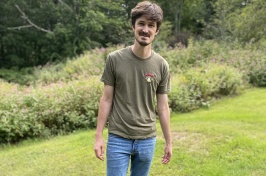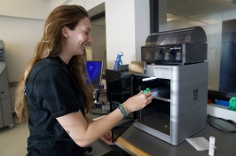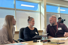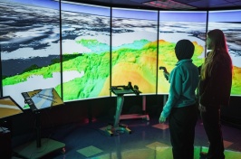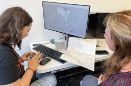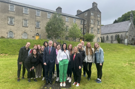
Michael Routhier (left) is the certificate program coordinator and instructor for the Applied GIS for Research class. Photo by Katelyn Dolan, UNH-EOS.
A New Graduate Program Brings UNH's Diverse Strengths Under One "Roof"
For ten years, Michael Routhier, director of the GIS and Remote Sensing Laboratory at the Institute for the Study of Earth, Oceans, and Space (EOS), has taught a one-week, non-credit course on Geographical Information Systems, GIS for short. Beginning this month, he will teach a new, two-week, four-credit course that is built upon his decade-long class and represents the initial offering for UNH's new Geospatial Science Graduate Certificate program.
The certificate program, which was made possible by a UNH Wonder and Innovation grant, brings together a diverse but disparate variety of geospatial science classes in multiple departments across four colleges and EOS. By organizing the university's geospatial science educational resources under the program, students will be able to leverage them more effectively for future educational and career growth within the fast-growing field of geospatial science.
Indeed, the geospatial market is growing at an annual rate of 35 percent with the commercial subsection expanding by 100 percent every year. This increased use of "spatial thinking" has created a demand for educated students and professionals with relevant skills in methods and technologies that develop, analyze, and visualize geospatial data.
Says Routhier, "Based on the growth of the geospatial science field, I'm confident that UNH's new Geospatial Science Certificate program will be very strong."
Routhier notes further that by virtue of its interdisciplinary approach, the certificate program will have strong research components due to robust ties to currently existing research centers and institutes across campus. EOS, for instance, has an historical strength in geospatial science, and is the home of both the GIS Lab and NH GRANIT (New Hampshire Geographically Referenced Analysis and Information Transfer System), the statewide GIS clearinghouse.
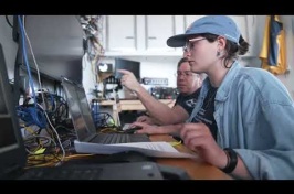
The certificate program's inaugural class, Applied GIS for Research, which begins Monday, August 13, is a technology-driven class in that students will "have their fingers on the keyboard" doing work rather than listening primarily to lectures.
CONTINUE READING "Spatial thinking" >>
Originally published by:
Spheres Online, Institute for the Study of Earth, Oceans, and Space
Written by David Sims, Science Writer, Institute for the Study of Earth, Oceans, and Space


